


DroSense
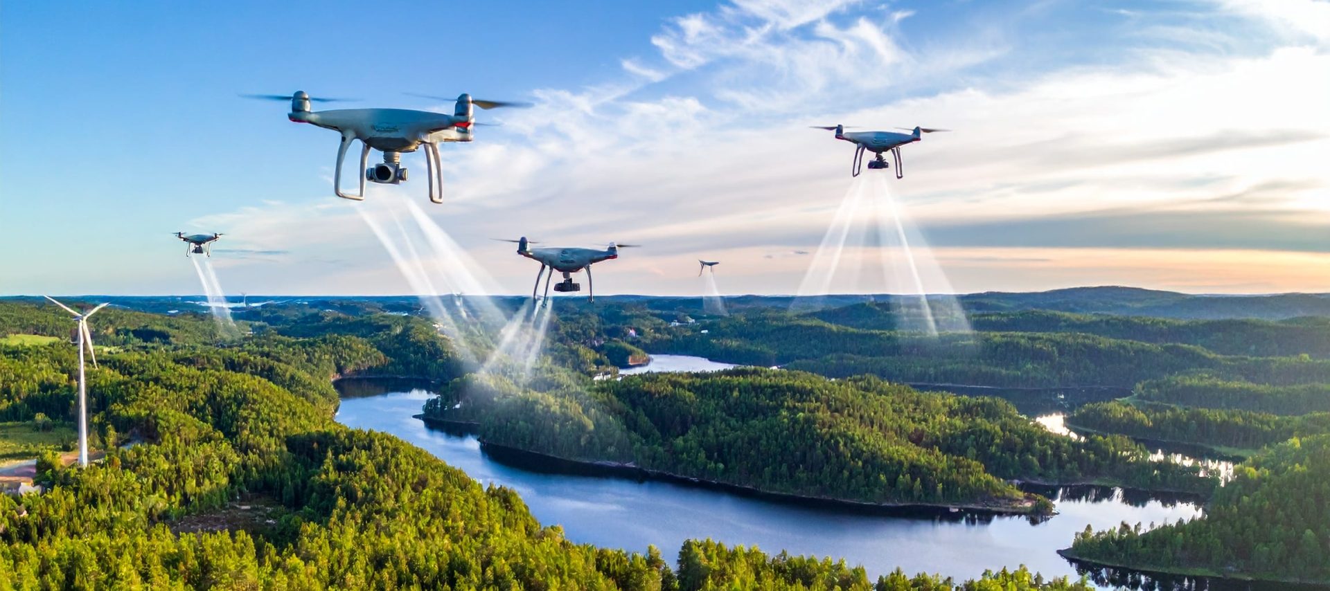
Drones as intelligent sensors
The DroSense project aims to create a robust drone-sector innovation ecosystem that supports the business development and competitiveness of SMEs. The project focuses on developing drone-based measurement and monitoring systems and on opening new business opportunities for local SMEs through emerging technologies.
The main objective of the project.
Welcome – Learn more about the project!
The objective of the project is to develop drone-based measurement and monitoring systems that enhance the competitiveness of regional companies and open new business opportunities.
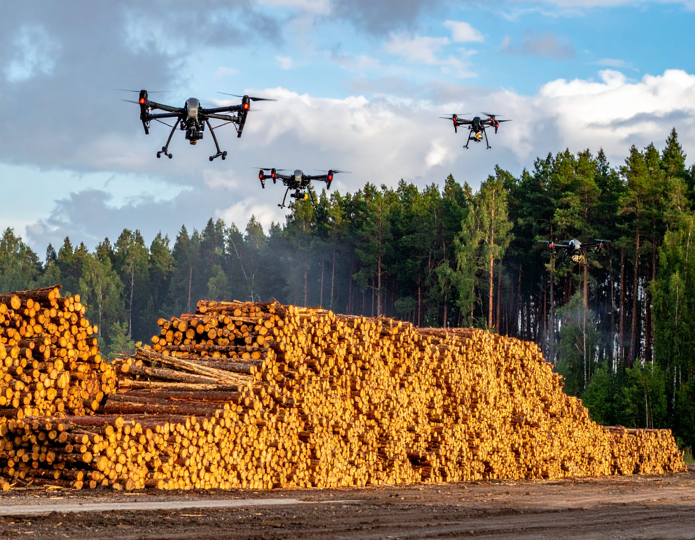
Developing a functional multi-drone swarm is a challenge in itself, which is why the measurement-related functionality in this project is intentionally kept simple. For example, biomass volume estimation or measuring snow depth on building roofs can be demonstrated with a single drone. However, when sensor integration and data processing are extended to a drone swarm, the related applied research introduces significant new possibilities for implementing measurement solutions.
The project is carried out in cooperation with South-Eastern Finland University of Applied Sciences (Xamk), Kajaani University of Applied Sciences (KAMK), and the University of Oulu. Xamk serves as the project coordinator. The project manager is Marko Sorsa.
Developing a functional drone swarm is a challenge in itself, which is why the measurement-related functionality in this project is intentionally kept simple.
Key activities of the project
The project explores and evaluates data-collection solutions for both individual drones and drone-swarm applications (LiDAR, thermal imaging, GPR, and other sensor and measurement-data acquisition technologies), including both state-of-the-art technologies and solutions currently under development, as well as their applicability.
It also examines the technical possibilities for implementing sensor-system remote-control solutions, GNSS-independent positioning methods, and the use of 5G and MESH network technologies.
In addition, the project studies, develops, and applies advanced simulation tools for drone-swarm operations. Building on this foundation, it identifies control techniques best suited for drone swarms operating in a 5G environment. The project also tests the communication performance of 5G networks when interacting with drones.
The project develops measurement solutions suitable for drones and studies their performance in real operational environments and field tests. Sensor solutions and drone-technology components developed or identified during the project can be applied in proof-of-concept trials.
The project strengthens the competitiveness, attractiveness, and visibility of Eastern and South-Eastern Finland as a rapidly developing region for drone-technology applications and business. Through enhanced cooperation between universities of applied sciences and companies, the project fosters product and business development within the regional SME sector.
Project outcomes
The drone solutions developed within the project will become part of South-Eastern Finland University of Applied Sciences’ drone research infrastructure. This infrastructure will be utilised in research and development activities as well as in drone-related education. It will also be offered as a service for companies in the drone sector to support their research and technology development. Companies participating in the project will use the project’s results to advance their own product development and renew their business operations.
The project’s outcomes will be shared to support regional business promotion. Strengthening RDI activities in the field enhances the attractiveness of the region’s innovation ecosystem and fosters cooperation among technology companies operating in the area.
Achieved in the project
The DroSense project is currently examining suitable drone options for the various activities within the project. While there are multiple implementation alternatives, the number of clearly applicable aircraft solutions is limited. The final outcome is a balance of several factors: when emphasis is shifted in one direction, something else is compromised. This applies, for example, to the relationship between weight and flight time, or flight time and investment costs. The project has identified several device options that warrant more detailed investigation, and the final selections will be made once the assessment phase is completed.
UAV-g 2025 -seminar
The DroSense project will participate in the UAV-g 2025 seminar, held at Dipoli in Espoo on 10–12 September 2025. In parallel with UAV-g 2025, the FinDrones 2025 seminar will also take place, focusing on the drone industry.
Unmanned Aerial Vehicles in Geomatics (UAV-g) is an international workshop designed to present and discuss scientific and technological advancements in unmanned aerial systems and their applications in geomatics.
Since 2011, the UAV-g event has been organised every two years. UAV-g is sponsored by the International Society for Photogrammetry and Remote Sensing (ISPRS).
Learn more about the UAV-g 2025 seminar here:
Project information
DroSense – drones as intelligent sensors
Info
Budget
The project has received private funding:
Andritz Oy 15 000 €
Metatavu Oy 5 000 €